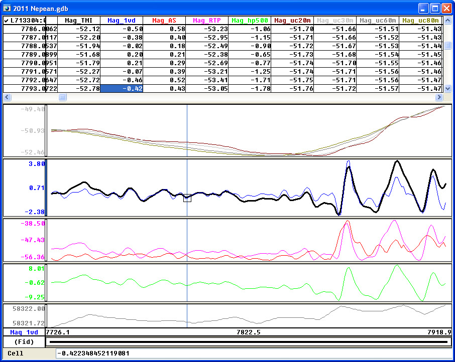

Quality assurance and control is handled in the field using custom programs inside of Geosoft Oasis Montaj. Oasis Montaj is industry leading geophysical data processing software.
While other providers require you to receive your data in a set format, we will deliver in the format you prefer. We use the best global software packages available to process your data. If you are not sure, we can recommend versatile formats for use in MapInfo and ArcMap. We can also provide additional products that will help illuminate your target.