

Most magnetometers can tell you where they have been, but only a few can tell you where to go.
For efficiency, ground magnetic surveys are usually conducted along parallel survey lines – or grids. In the bad old days prior to GPS, these grids would have to be laid out at great expense prior to the magnetometer survey. This could be done with a compass and chain (tape measure of sorts), or even with a separate magnetic GPS. These tools would be used to site wooden pegs with flagging tape on them that the operator could use to navigate. This process often involved a team of 2-4 people.

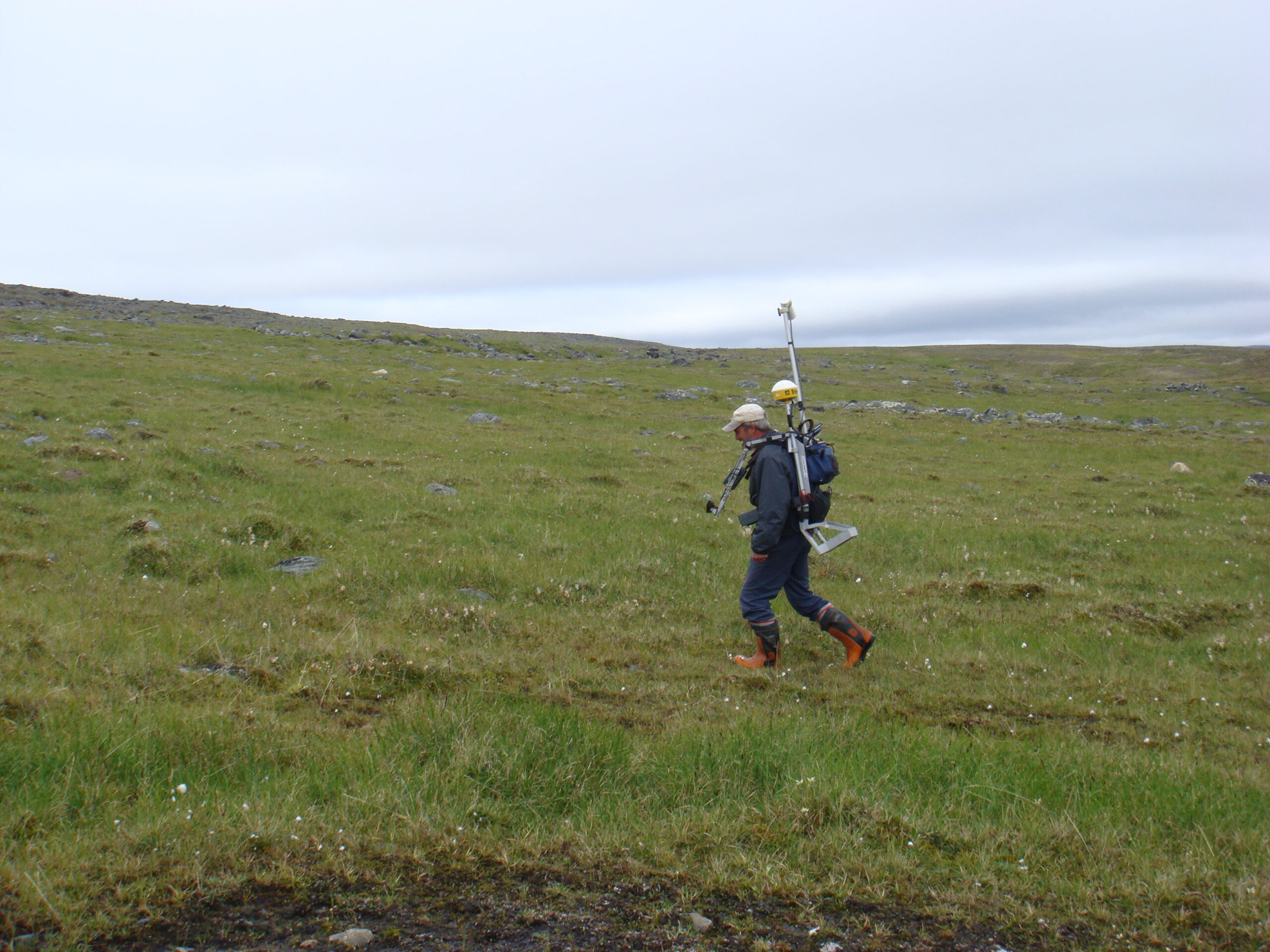
A heavy and clunky G859 with Trimble AG132 navigation.
When selective availability was turned off in 2001 this was a gift from the United States Military to the geophysical community. Approximately 1 metre accuracy was now possible with high end GPS systems. Once these systems were integrated with magnetometers there was no need to interpolate the data between the survey pegs in software or use cotton reel odometers (a method of measuring distance in the bad old days). However there was still a glaring omission with these early systems. The built in GPS could record the magnetic field reading at the correct location, but the GPS could not help the operator navigate straight lines. That is unless the survey was east-west or north-south thus allowing an experienced operator to walk straight lines by keeping a constant easting or constant northing.
Most ground magnetometers that can be purchased today do not have built in navigation! They have a GPS, but this GPS is useless in helping the operator walk angled or irregular lines. The Geometrics G858 and G859 are still popular choices in the industry, which is incredible given that the operator cannot navigate with the built in GPS. You have to buy a separate unit from Trimble which is the size of a small house and approaching the cost of one to gain this essential functionality. This awkward GPS system was originally designed for agricultural spraying on an ATV.
Scintrex only seems to offer this essential function in their premium priced, but aptly named NavMag. They understand how essential navigation is to improving productivity because they didn’t call it Recordwhereyouhavebeenbut wanderaroundaimlesslyMag.
In contrast, GEM systems magnetometers have built in navigation. Furthermore the GEM systems GPS antenna is non-magnetic. The GPS is built into the console, which is important because this means that the GPS electronics board is further from the magnetic sensor and thus creates less EM interference. Offerings from other manufacturers use “smart antennas”. These bundle the GPS antenna and electronics in one housing. I don’t think it is so smart to place a powered printed circuit board within 30cm of the magnetic sensor. These silly antennas also place the expensive and large components in harms way on poles above the operators head that can be bashed on trees.
When you have built in navigation, you don’t need to purchase or use a handheld GPS, most of which are magnetic and result in noisy magnetic data. Built in navigation is much safer since the operator can navigate back to the base or vehicle in an emergency. Furthermore production rates are doubled with built in navigation because there is only one operator per magnetometer and the grid need only be walked once.
So next time someone tries to sell you a magnetometer without navigation, tell them where to go. If they don’t have a GEM Systems magnetometer, they will be walking in circles!
